top of page
Create Your First Project
Start adding your projects to your portfolio. Click on "Manage Projects" to get started
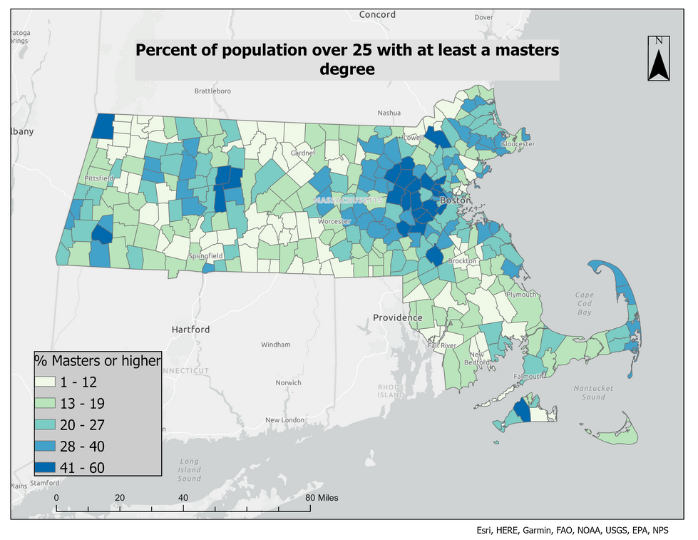
Mapping Education & Wealth in Massachusetts
Project type
Spatial Analysis
Date
November 2023
Location
Massachusetts
Conducted a spatial analysis of all 351 Massachusetts municipalities to examine the relationship between educational attainment and median household income. Used American Community Survey data and MassGIS basemaps to generate thematic and bivariate maps, revealing clusters and disparities across the state. Findings supported a strong spatial correlation between higher education levels and income, with notable exceptions in seasonal communities.


bottom of page

